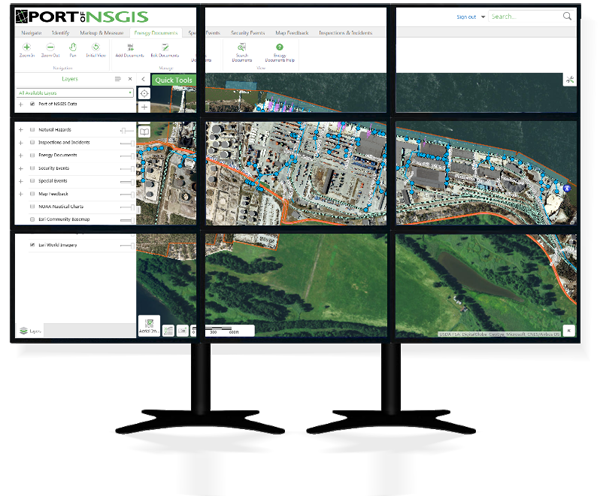
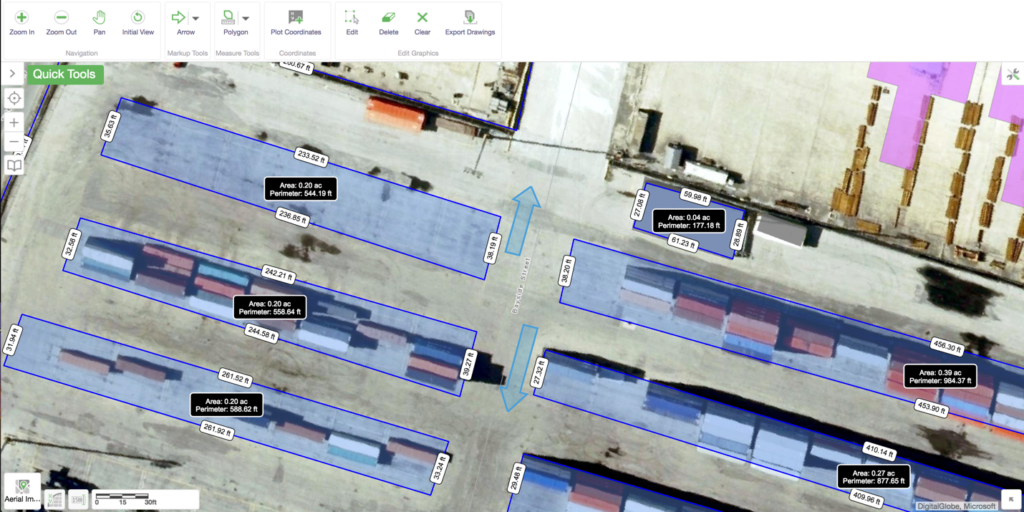
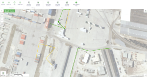
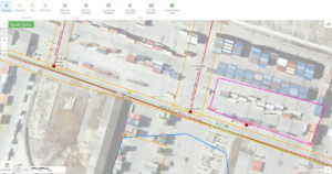
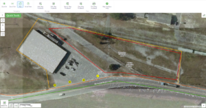
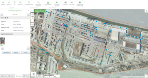
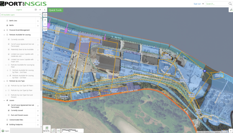
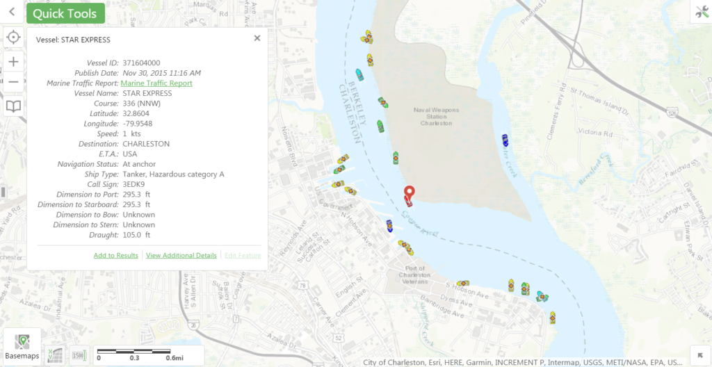
Our solution leverages the benefits of several layered products from world technology leaders Microsoft, Esri, and VertiGIS, and provides specialized ports-specific tools and extensions.
Because NSGIS manages the entire solution, we keep the various components synchronized, deliver maximum functionality with as little reliance on custom software and as much reuse of COTS (Commercial off the Shelf) tools as is possible. The result is a highly focused, yet extraordinarily scalable solution to meet ports’ fundamental needs and provide the basis for future integration and growth.

